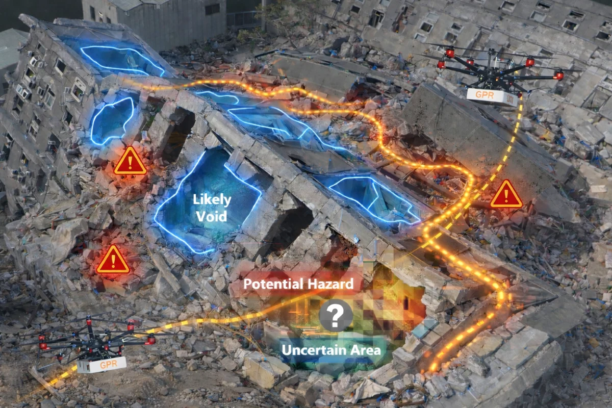
Seeing Beneath Disaster Rubble
Ground-Penetrating Sensing and Robotic Guidance for Search and Rescue
We investigate how ground-penetrating radar can reveal hidden voids in collapsed structures and how robotic guidance could make this information actionable for first responders.
01 — The Problem
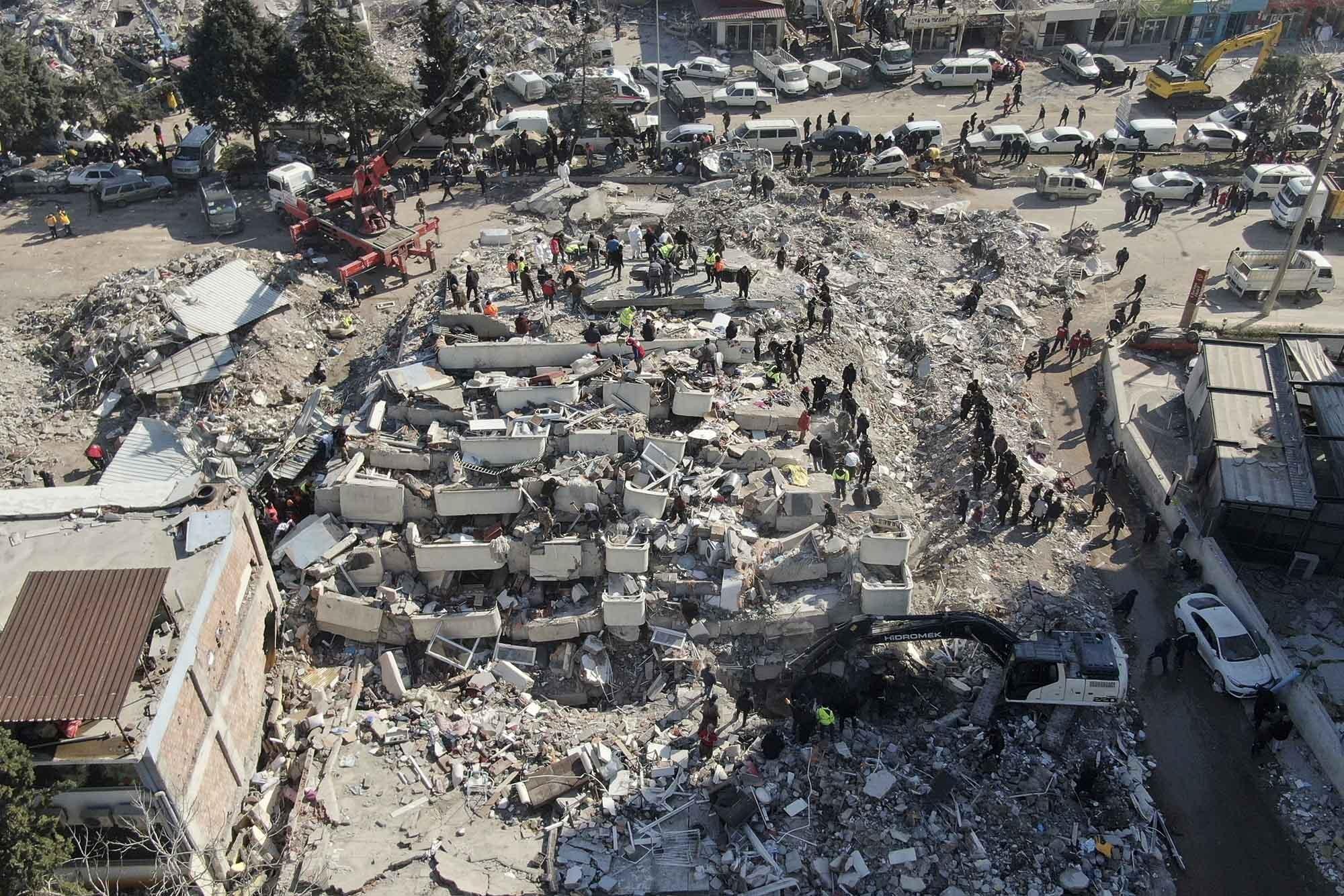
Critical Spaces Are Hidden Beneath the Rubble.
Collapsed structures may contain voids where trapped survivors could remain. Yet these spaces are often invisible from the surface, making their detection and localization challenging for rescue teams.
02 — Our Rationale
Sense Beyond What Cameras Can See.
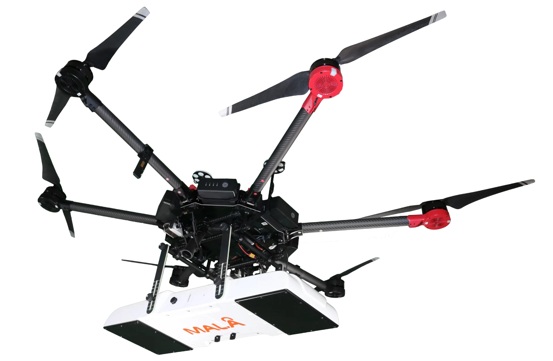
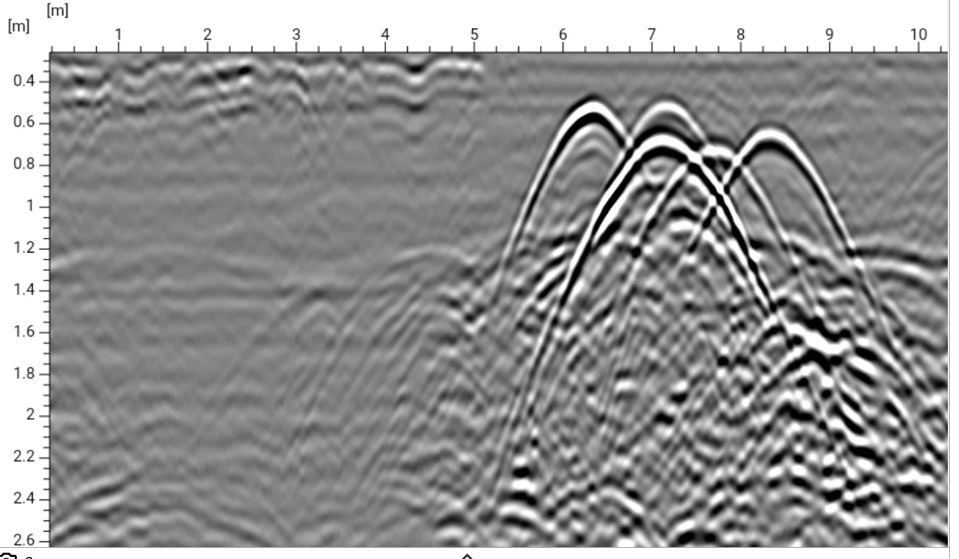
Ground-penetrating radar (GPR) provides a means to investigate subsurface structures without direct visual access. However, radar measurements must be interpreted to reveal potentially critical voids.
03 — Subsurface Reconstruction
From Radar Signals to Hidden Void Geometry.
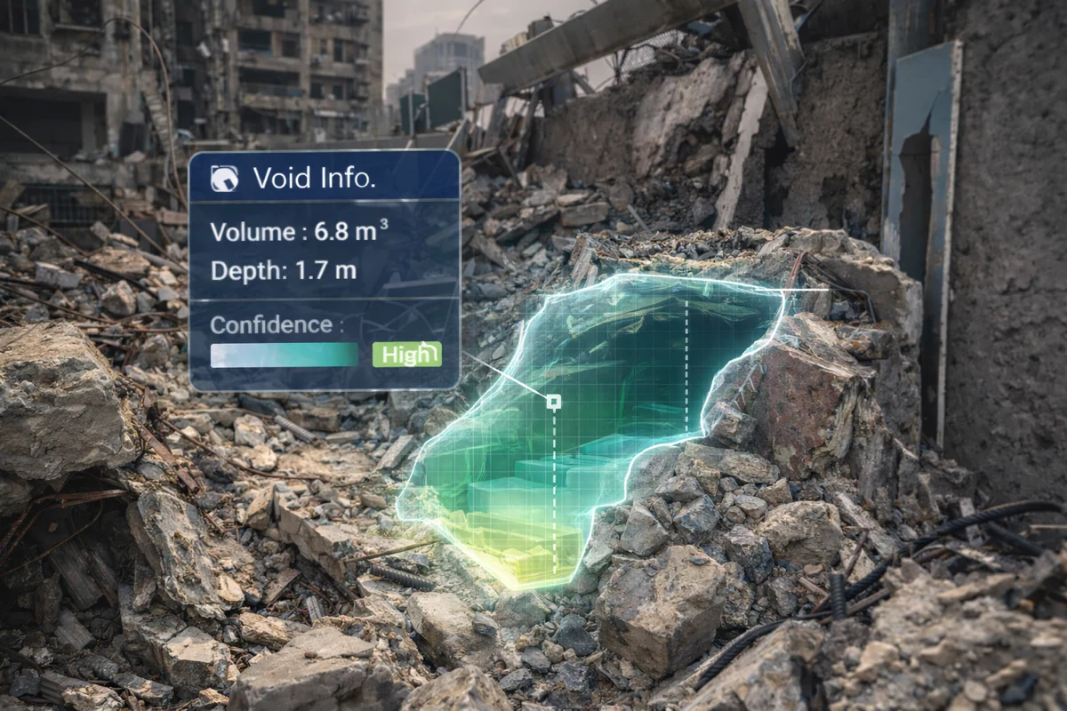
Our research develops methods to detect and reconstruct potential void spaces from GPR measurements, estimating their locations, depths, and geometry to support search-and-rescue assessment.
04 — Robotic Spatial Guidance
Bringing Hidden Information into Physical Space.
We envision robots that project estimated void locations directly onto rubble surfaces, allowing rescuers to relate subsurface findings to the physical scene.
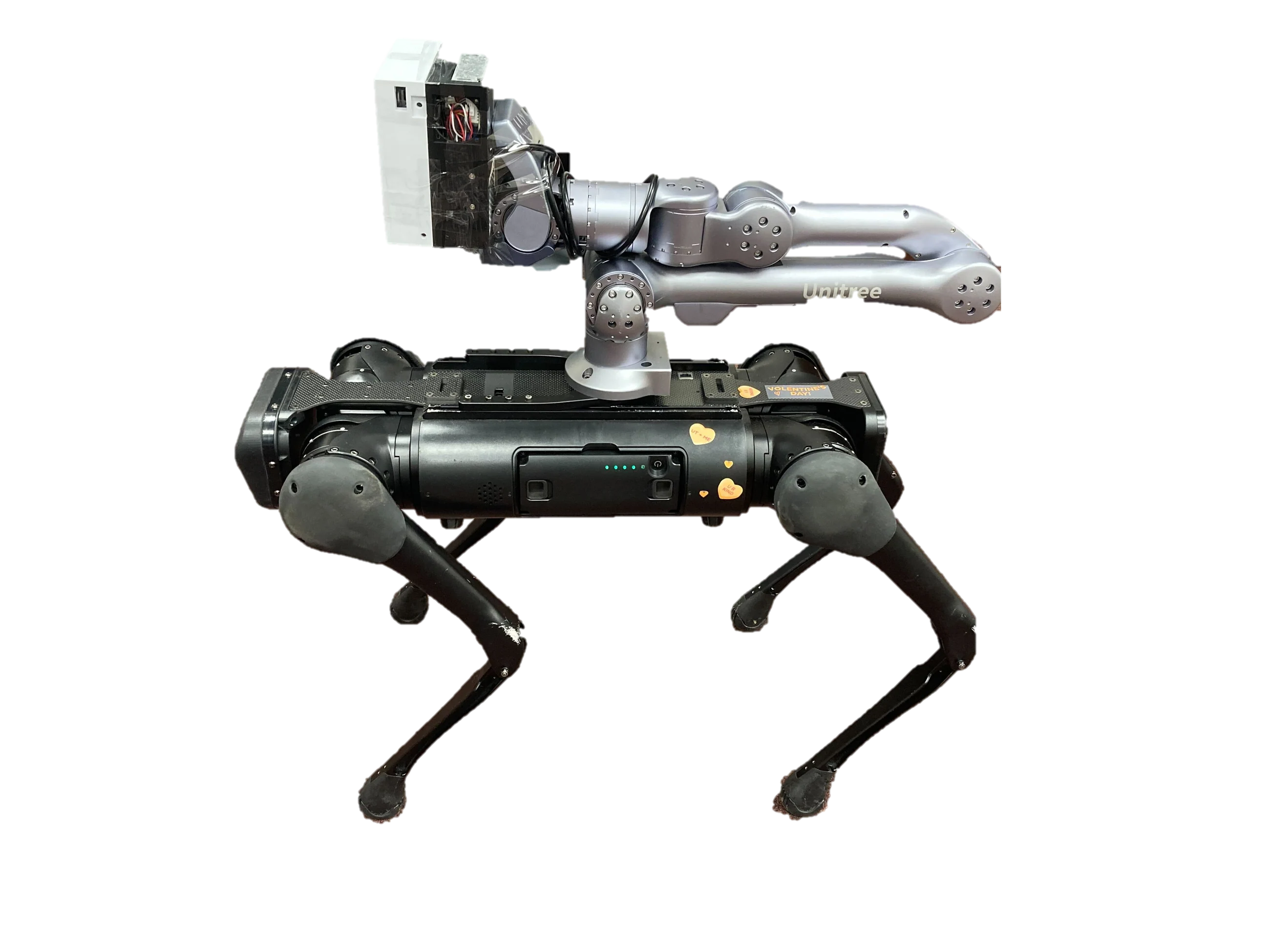
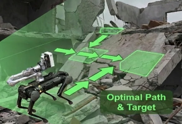
Envisioned robotic integration; the combined sensing and projection system has not been experimentally validated.
05 — Toward Adaptive Robotic Reconnaissance
From Subsurface Mapping to Targeted Investigation.
We envision robots that integrate subsurface sensing, spatial reconstruction, and on-site guidance to support adaptive disaster reconnaissance. Guided by rescue priorities and sensing uncertainties, robots could plan targeted investigations and help first responders make informed decisions.
Are these two hidden voids connected?
Prioritize a measurement near the uncertain connection.
Selected Publications
-
2019 · Advanced Engineering Informatics
Detecting, Locating, and Characterizing Voids in Disaster Rubble for Search and Rescue.
-
2022 · Automation in Construction
Reconstructing Unseen Spaces in Collapsed Structures for Search and Rescue via Deep Learning Based Radargram Inversion.
-
2022 · Journal of Computing in Civil Engineering
Seeing through Disaster Rubble in 3D with Ground-Penetrating Radar and Interactive Augmented Reality for Urban Search and Rescue.